Kim demands a walk after tea. ‘We should go to Cley Hill, there’s time before dark’. Kate and Emma were up for it and we piled into the car, crossed the by-pass and pulled into the empty NT car-park beside the Longleat Estate.

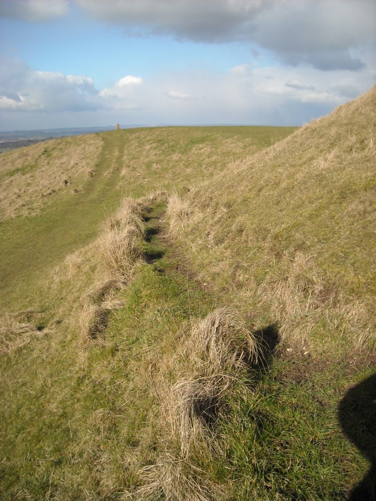
Cley Hill from Warminster with its distinctive round barrow on the summit.
The days are disappearing fast as we slip into autumn.
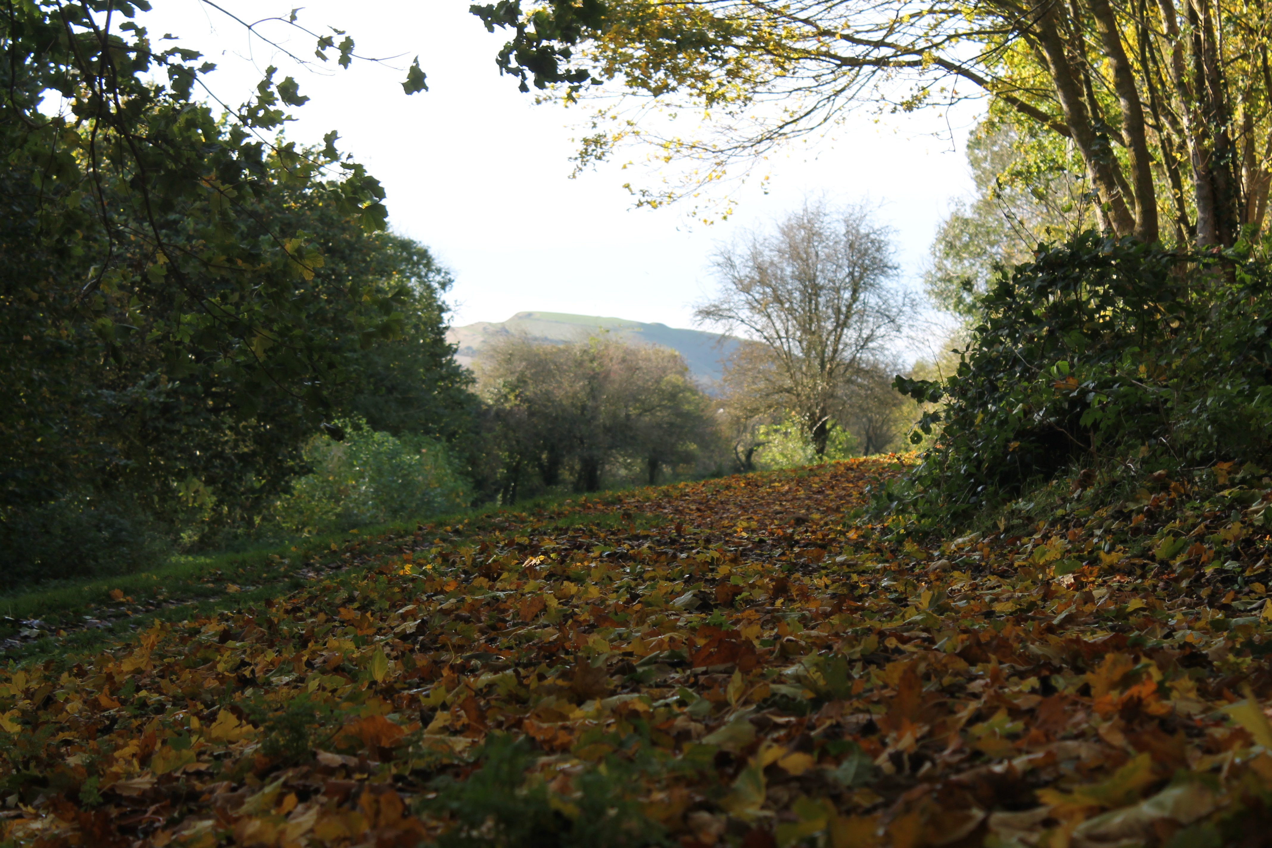
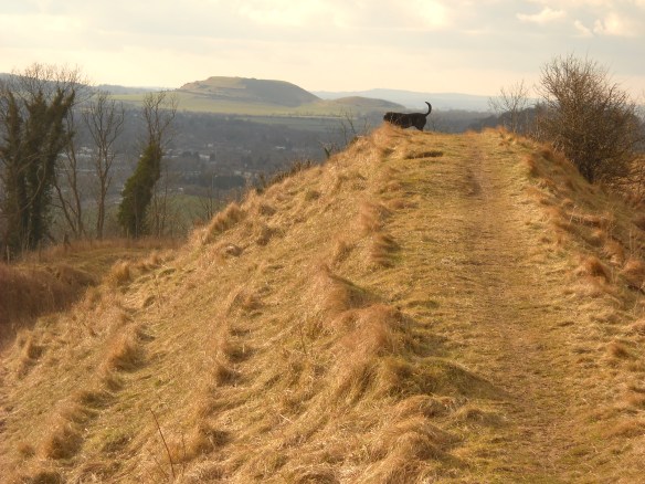
We stood by the car and immediately realised that our decision had been good. The drama of the evening was upon us and we, it seemed, would be its audience. The atmosphere was still, barely a breeze and warm for late September. We quickened our pace along the path, Kim running ahead, passing a lone loaded apple tree. Across the stile and up the steep hill across the stepped medieval strip lynchets.

Cley Hill leading to Little Cley Hill top centre of the photo. The 19th century chalk quarry in the foreground cuts through the ditch and rampart of the Iron Age hillfort and a linear boundary bank which runs over a Bronze Age burial mound hidden by gorse (now cleared). Beyond is the large burial mound with a dimple on the top. The remains of the excavation by Richard Colt Hoare and William Cunnington in the early 19th century. To the right are medieval arable terraces known as lynchets.
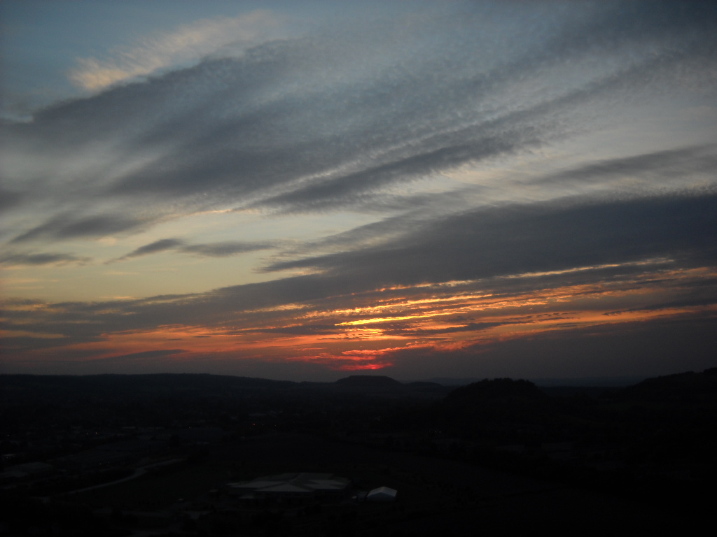
We looked back..WOW! A truly bonfire sky. Deep purples over the Warminster houses, shading up to reds, oranges and pink blues.
It kept changing as we looked and to the right a ragged kite tail.. a flight of birds aiming for the hill. Others emerged from the dusk. The atmosphere was such that they seemed to just materialise as we looked, and flight after flight headed for the sun.
We almost missed it. On the summit, we stopped on the small burial mound and saw it sinking fast, a bright yellow-red flash into the hills beyond Frome. We crossed to the large barrow and sat on its west side to enjoy the autumn sunset spectacular. A triumph of light, shadow and mist. Silhouetted slope-lines capped by hedges and trees fading out to the horizon.
Our balcony seat was a 4000 year old burial mound within a 2000 year old hillfort. Cley Hill, the landscape icon of Warminster… the icon of all the residents of this strategic place through history and prehistory. Generations have left their mark on this chalk outlier, guarding the western entrance into the Wylye Valley.
When the Iron Age coins are plotted across this landscape, it seems that Cley lies on a tribal border. The Dubunnic nation dominated the Greensand landscape to the west and north but the Durotriges held the high chalklands to the east. The escarpment edge was a natural rampart guarded by the hillforts of Bratton, Battlesbury and Scratchbury. Cley Hill perhaps acted as a Durotrigan totem and borderland marker. Even today it lies close to the Somerset/Wiltshire boundary.
View of Cley Hill from Battlesbury hillfort looking west across Warminster at the entrance of the Wylye Valley. The valley forms the southern edge of Salisbury and runs east as far as the confluence of rivers at Salisbury. The valley was an important routeway.
2000 years before, an important local leader chose the hill top as his monument. His burial mound has dominated the skyline ever since. It was too prominent to be ignored. 200 years ago, local antiquarians Richard Colt Hoare and William Cunnington dug a hole through the top. Their excavation is still a dimple on the summit. They found little. Unknown grave robbers had beaten them to it long before.
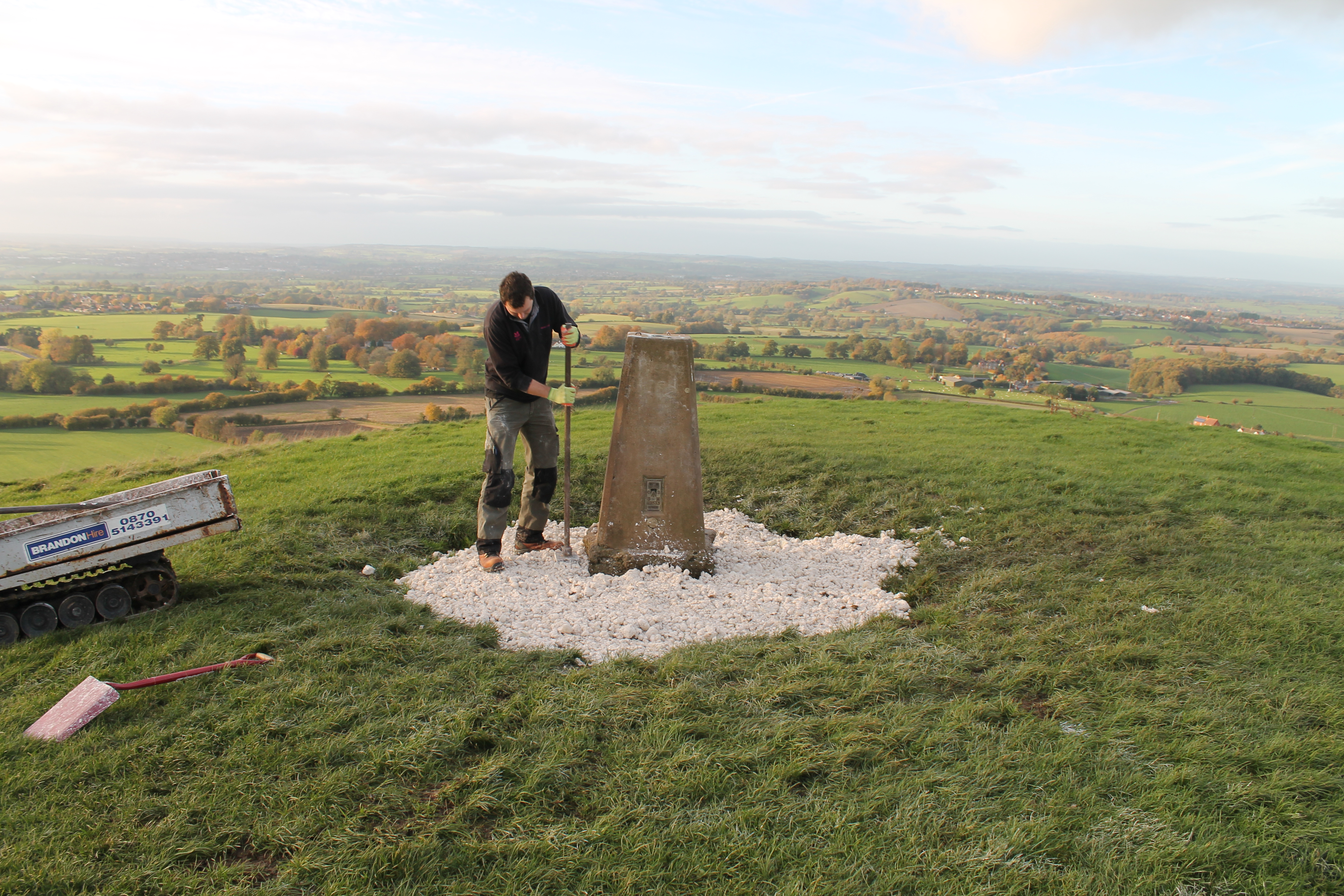
Cley Hill was given to the National Trust by the Longleat Estate and Ben the ranger looks after it helped by volunteers. The balance of nature and archaeological conservation requires careful management. A good grazing regime, scrub control and recently the patching of erosion scars with chalk.

Erosion to the west side of the large bowl barrow
Little is known about the buried archaeology on Cley Hill so it was very worrying when metal detector holes began to appear. We have no idea what has been taken. This week, I wrote to English Heritage to obtain a section 42 licence for the scheduled monument. This will allow us to carry out Cley’s first geophysical survey. I wonder what evidence of past lives is hidden by the turf.
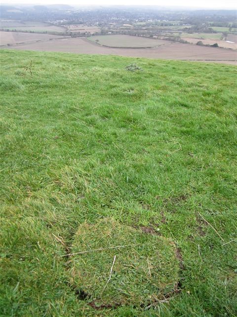
A distinctive cut piece of turf where a metal object has been detected and removed from the ground. What was found ? it is lost from its context now.
We were certainly not the first to enjoy the beauty of a September sunset from the burial mound. Many hundreds of thousands of people had been there before us.. but on this particular evening ..we held vigil and stood watch for Warminster for a while.
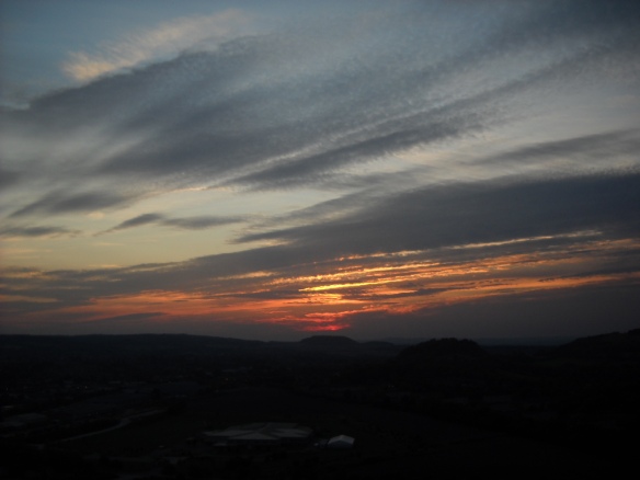
Sunset behind Cley Hill
We walked back in deep dusk, picking our way through the long abandoned chalk quarry on the south side of the hill, back across the lynchets to the path, Kim running ahead and wagging his tail in delight.