
Once, in the Chilterns, we’d discovered a glade with an abandoned rope swing. We’d laughed at each other as we’d swung and glided among the trees.
Best accommodation… quirky Wendover
Best sleep…..cave-like Streatley
Best food …. our beginning at Aldbury
We hugged.
Emma got into her electric Green taxi and waved as it took her soundlessly out of Streatley towards Wantage and on to London.
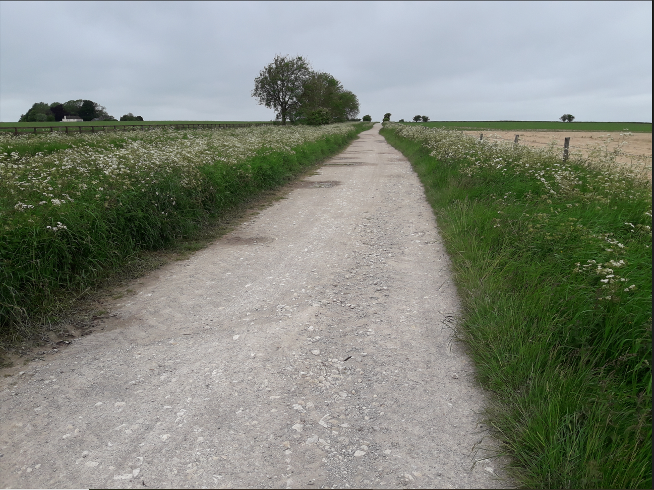
I trudged back along the quiet lane up to where we had left the Ridgeway yesterday.
No Strada today… but my key aim and objective of the walk was ahead.
A dog walker with earphones approached and I asked how far to Uffington.
‘Just 4km along the path’ he said ‘that’s where I’m parked, not far now’.
Twenty minutes later, a father and daughter approached…they were a little younger than me and Emma… but these were serious walkers, I spotted a tent and accosted them.
Yes they were walking the Ridgeway and had camped in a farmer’s field last night. He had just come back from a successful bid on the Pennine Way. I asked whether many people do it these days and he said that it was now fashionable to take it in as part of the Land’s End to John O’ Grotes trek.
Really…the peat bogs and the hypothermia….all my struggles over it and eventually the final conquest in 89…So now it was just a snack in a greater challenge !
A good conversation and a nice couple… but I felt chastened… and quite honestly a bit of a ‘light-weight’ as I walked on with my tentless rucksack and my fancy B & Bs…. it wasn’t a competition of course.
I paused for a drink… and the dog walker caught me up again.
‘Almost there’ he said.
I said that I wanted to see the White Horse because I was employed by the National Trust and had worked on the Cerne Abbas Giant.
‘ They’ve recently dated that’ he said ‘ I heard a podcast on it. A great thing to listen to when you are walking the dog’ He walked on.
I began thinking that perhaps I should listen to podcasts rather than just contribute to them. No twitter no instagram…I am falling behind. But my current conclusion is … in the time that I have… better to write this.. writing’s fun…a diary of sorts.

And then I was upon it….a National Trust Omega sign announcing White Horse Hill.
I crossed the long grass and sat on the escarpment edge and ate a picnic bar from the snack pack as I chatted to Jan on the phone. I could see the upper edge of the Horse’s head but the figure itself was roped off. A sign pointed to Dragon Hill.

Remembering the Cerne Giant viewing lay-by and the need to protect chalk figures from visitor foot fall erosion. I respectfully followed the signs down to Dragon Hill. There it was below me, a perfect viewing platform. How had I not read about this? I would check my David Miles book when I got home.
What a fine, prehistoric, designed monumental landscape this must be. The later Bronze Age uniquely flowing white horse lines etched in the hillside (OSL dated over 20 years ago and the inspiration of our Cerne Abbas sampling), created so that people could assemble on this high flat-topped mound looking back at the Uffington Horse.

A group of grumpy people were coming down Dragon Hill. An American woman was carrying a small dog. They looked disappointed.
I climbed the hill and my theory fell apart. I got sort of an oblique view of the horse. I should have listened…the dog walker had told me… ‘the best view is from the car park’

I sat on the grass and the wind blew my map away. It landed out of reach, I walked casually towards it and another gust sent it spinning to the edge of the platform. I dived after it and just caught it. Time to retrace my steps.
I headed back through Uffington hillfort which lies on the crest of the hill above the White Horse. It consists of two ramparts either side of a ditch with a western entrance. It once had an opposing entrance on the east but it was later blocked. This is a common pattern. It was built 8th-7th century BC and was used through much of the Iron Age and overlay Bronze Age evidence. A lot of Roman pottery had been found here.. and Anglo Saxon burials. A busy place archaeologically.
As much as I can say. The 1989-95 Uffington Project is published in the 2003 Oxford Archaeology book.. (see reference below)
The hillfort was being looked after well by NT. Rough grass and a few mole hills but nothing to see in them. I walked back to the stile and met a cyclist who had propped his bike against a black Ridgeway sign. He said he was cycling the 350km King Alfred’s Way and was loving it.

Just 2km west was Wayland’s Smithy an English Heritage megalithic long barrow managed by NT. It lies within a grove of beech trees and the legend tells how Wayland, the invisible Smith, will shoe your horse if you leave money. I didn’t have a horse so sat on a log and had lunch there. Looking at the stone facade and the burial chamber… where someone had left some flowers.
The site is an Early Neolithic communal burial monument but when Stuart Piggott and Richard Atkinson excavated here in 1962-3 they found two phases of burial, the first was an oval timber-chambered barrow containing the remains of 14 people and built around 3600 BC. The later was the stone chambered barrow of about 3400 BC. This too had bones representing family or clan groups but the megalithic barrow had been badly robbed. The site looks well preserved today but it is a reconstruction. Early 20th century photos show the large stones fallen and the mound dug over and damaged.

A quiet place, National Trust rangers had repaired erosion to the barrow mound and it looked good. I finished lunch just as a group of cyclists crashed into the clearing. I slipped away and a short while later stopped to take a photo of the information board…but there was no phone in the front pocket of the rucksack. I retraced my steps found the phone lying in front of the long barrow. Wayland had left it for me ( I must concentrate). Top tip always double check you have everything before moving on.
So… I was half way through the day and I was 8km into a 28km walk. I had devoted too much time to the archaeology and needed to push on.
I went past a large converted horse box on the path, tucked into a verge by the path… bicycle, car, chairs all overgrown.. a bit Mary Celeste.. What had happened here?

It was becoming overcast and there was a chill wind. I started to cough so put on extra layers. I got to a road, saw a pub but it was now an Indian restaurant… I looked too unsavoury and I was too late for hot drinks apparently.
I was tired by the time I crossed the M4, did a dog-leg across the Swindon road and threw myself down on a verge before the ascent to Liddington Castle.
I’d crossed the border into Wiltshire and was back in the South West! I peeled an orange in celebration as two blokes wandered down the hill towards me. One of them looked at me and said ‘Are you alright ?’ (oh dear, I must look rough).
‘I’m just resting, I’ve come a long way today. Is it OK to walk round Liddington Castle?’
‘Yes you just need to go right on the field boundary at the top of the hill. We live in Swindon and often go for walks here. We’ve been looking at the WWII decoy site up there. The diversion to stop them bombing the town and the railway works.’
We talked of barrows as monuments to be seen by a community and they talked of a grove of trees clearly visible from Swindon where people came to remember loved ones.
‘The trees are full of pictures and flowers and ribbons they said’
They wished me good luck and went on their way.
A few hundred metres on and I walked off the map. 170 went back in the rucksack and out came 157 Marlborough and the Savernake Forest.
No time for Liddington. I left its double ramparts behind me as I turned south. This is Wiltshire’s candidate for the 5th-6th century sub-Roman battle of Mount Badon. There are Badbury place names nearby. Being a Dorset archaeologist, the true location is Badbury Rings of course…..but there are other places available.

I needed another Ridgeway black bench and one emerged in a perfect location sheltered by trees with huge views across the countryside. I looked back toward Liddington on the horizon. Emma rang, she was safe back in London.
The last part was a wearisome slow descent and encirclement of Ogbourne St George. I plodded along noticing how the patterns of blossom, floated down, settled on the ponds and were blown to the edges. One path had stripes where white and pink blossom alternated.

I needed a rest.
At last I found Ogbourne High Street and walked its length to get to the pub.
As ever, but particularly it seemed tonight…it was so great to be shown a room and to just crash out on a bed.
I still had a long way to go.
Miles, D., Palmer, S., Lock, G., Gosden,C. & Cromarty, A.M., 2003, ‘Uffington White Horse and Its Landscape, Investigations at White Horse Hill Uffington, 1989-95 and Tower Hill Ashbury 1993-4’, Oxford Archaeology Unit Monograph 18, Oxford University Press

